Stormy weather brings rain, first snowpack to Colorado mountains this week
Colorado’s northern and central mountains are expected to receive consistent showers through Wednesday

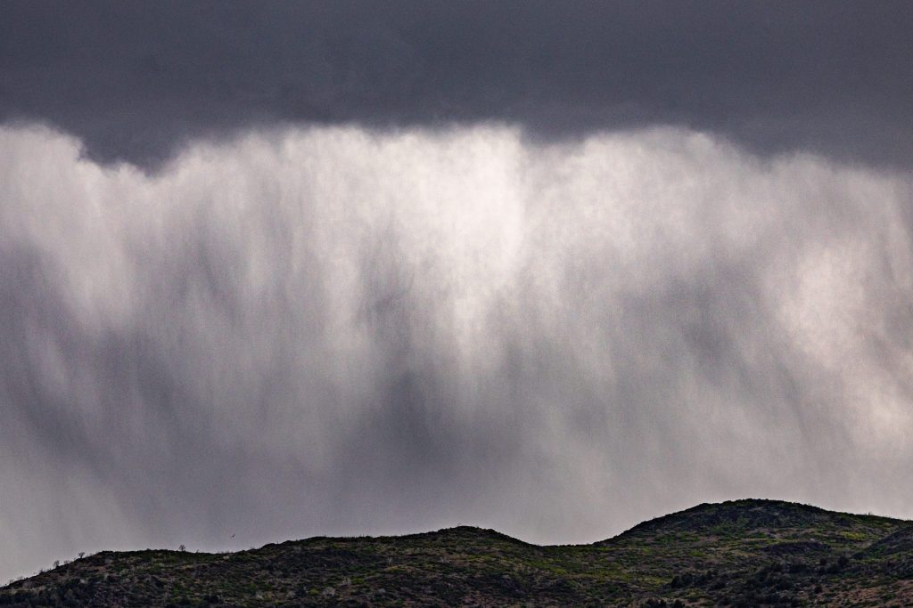
Austin Colbert/The Aspen Times
Colorado’s calm weekend weather is transitioning into stormy skies this week, with parts of the mountains expected to start collecting some snowpack.
Colder temperatures and persistent rain arrived on the Western Slope on Monday, Sept. 28, with up to an inch of rain expected through Wednesday night for Aspen and other central mountain towns.
“Places like Steamboat Springs are less favored in this setup currently, just because a lot of the moisture is focused on the southwest Colorado area,” said Brooke Scholtens, a Grand Junction meteorologist with the National Weather Service. “The general rule of thumb is those chances decrease the further north you go in the state.”
Although the majority of this week’s precipitation is forecast to fall in the southern half of the state, the northern and central mountains are expected to get their share of stormy weather. Monday’s chances of precipitation range as high as 90% for parts of the region, rarely falling below 50% through Wednesday. Afternoon and evening thunderstorms are also possible throughout the week.
The National Weather Service’s Excessive Rainfall Outlook shows parts of Garfield and Pitkin counties at a slightly higher risk for flash flooding (15%) than other towns along the northern and central mountains on Monday. Other counties, like Eagle, Summit, Routt and Grand, were identified to be at a marginal risk — at least 5%.
Flash flooding risk is expected to decrease throughout the week, with most western counties sitting at 5% risk or lower by Wednesday.
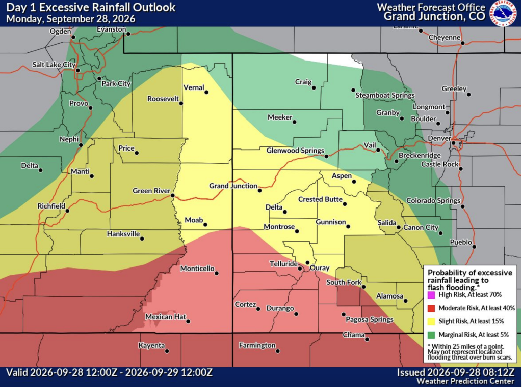
“I don’t think we should rule out the [possibility of flash flooding] anywhere,” Scholtens said, “but the chances do decrease the farther north you get out of the flood watch.”
Temperatures are expected to stick around normal to below-normal, with highs in the mid-50s to low-60s through Wednesday. The end of the week is forecast to return to sunny and warm weather, with temperatures sitting in the mid-60s to mid-70s on Thursday and Friday, depending on the town.
Snow could stick around
Colorado’s highest peaks could also see snow on Monday and Tuesday around 13,000 feet, transitioning into cold rain at lower elevations, according to a Monday OpenSnow report. Snow levels are expected to drop later in the week as cooler air tracks into the state, meaning snow could fall as low as 10,000 feet before transitioning into rain.
Precipitation models for Colorado show that some of this snow could accumulate around the central and southern mountains, Scholtens said, thanks to overnight lows being cold enough on the higher peaks.
“Anticipate that any snow that accumulates on the highest peaks will probably stick around and build that start of the snowpack, so-to-speak,” Scholtens said. “The signal is [weaker] for the northern mountains.”
Following this week’s storm, the Western Slope is forecast to return to sunny and dry weather through mid-October, according to OpenSnow.
“This will not allow for early-month efficient snowmaking at the higher elevation resorts in Summit County, which are often first to start spinning lifts (A-Basin, Keystone, Loveland),” OpenSnow’s founding meteorologist Joel Gratz wrote in the report.





Support Local Journalism
Support Local Journalism
Readers around Steamboat and Routt County make the Steamboat Pilot & Today’s work possible. Your financial contribution supports our efforts to deliver quality, locally relevant journalism.
Now more than ever, your support is critical to help us keep our community informed about the evolving coronavirus pandemic and the impact it is having locally. Every contribution, however large or small, will make a difference.
Each donation will be used exclusively for the development and creation of increased news coverage.